
IIT Guwahati, ASSTC collaborate for training using drones and emerging tech
Indian Institute of Technology Guwahati (IIT-G) has collaborated with Assam Survey and Settlement Training Centre (ASSTC) to train its officers in areas such as drone operation, training, maintenance, data collection, and modern land management and research.
“IIT Guwahati will conduct courses related to drone operation, training, maintenance, data collection, application in various sectors, theory classes on modern land management, and Research and Projects by leveraging their respective expertise in this area,” an official release from IIT-G stated.
According to the statement, it is the first instance across the country where training on drone technology will be imparted to all levels of officers and it is a unique step to integrate knowledge-based technological advancement as part of the training curriculum for state officials.
“In this new era of technology and education, this MoU is a great step towards helping the region. I thank IIT Guwahati for this collaboration. This will help the region and encourage people to work for the development of the region,” said state revenue minister Jogen Mohan.
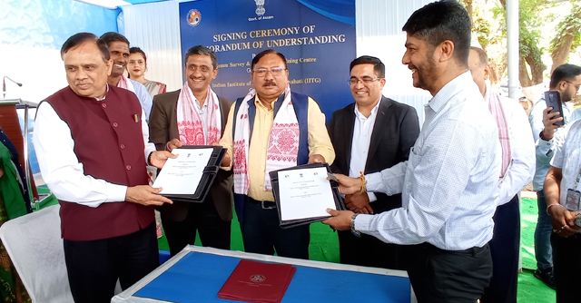
An MoU was signed on Wednesday between the two institutions to impart the training. Within the framework of this MoU, IIT Guwahati will impart training to the government administrative and technical staff. Both the institutions will work to support officers and select manpower such as mentors, trainees, and skill development, and upskilling.
“I am very glad that today we will be able to initiate the academic courses related to this drone technology to ASSTC and in the near future we hope to make a more positive contribution to the state and extend this technology to various other sectors,” said Prof. T. G. Sitharam, Director, IIT.
For Assam and the Northeast being vulnerable to various natural calamities such as floods, landslides, land erosion by rivers, huge fires, the drone-based technologies can be extremely useful, the statement said.
It can be used for land survey, river mapping, forest cover, agriculture sector, highway/traffic monitoring, border surveillance, etc. by providing real-time information and data at a time scale not possible manually or by other means, added the statement.
Next Article